Political record
The Eastern Empires

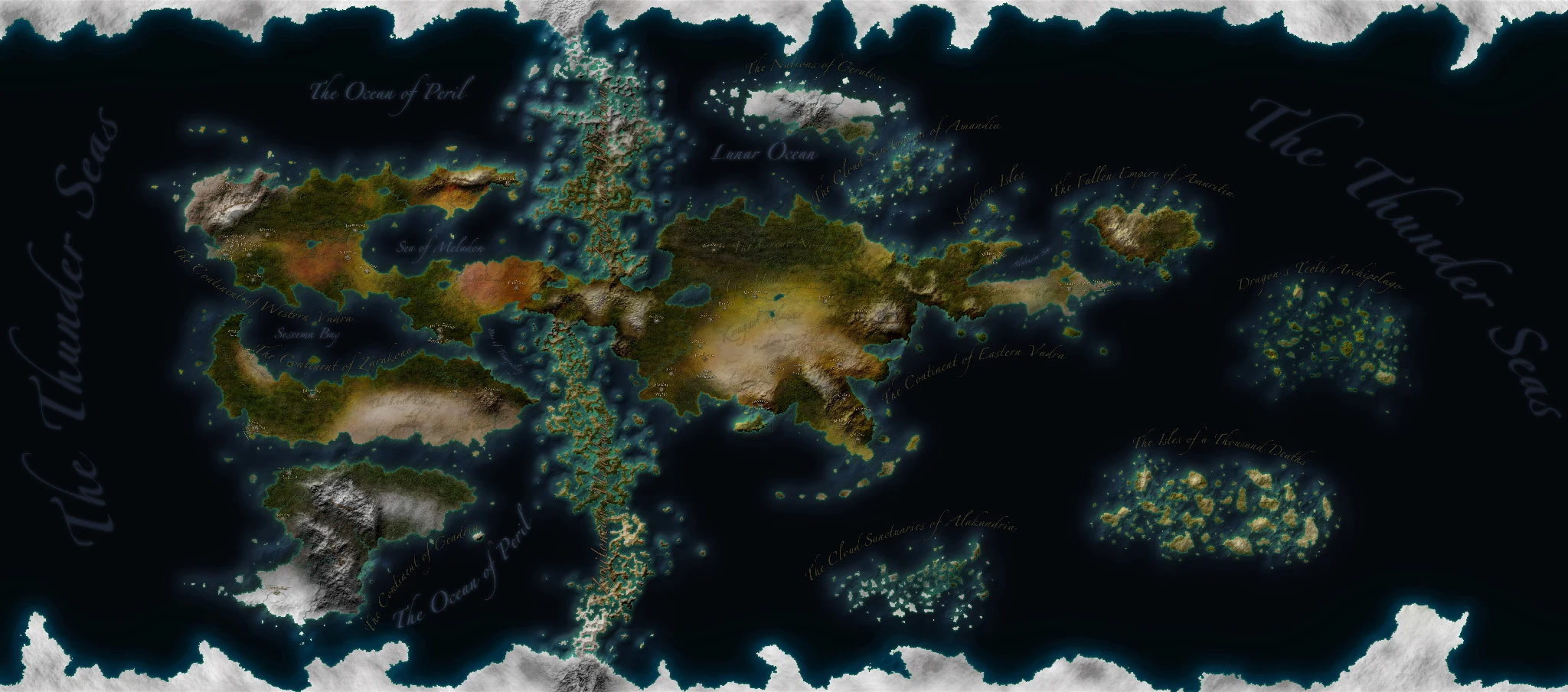
The restored cartographic archive
Continents, empires, island realms, oceans, borders, and the world itself—preserved from the original site and rebuilt for modern exploration.
Restored from the original Zoomify archive
The original tile pyramids are preserved. Drag to pan, use the wheel or pinch gesture to zoom, and switch maps without leaving the page.
Empires and nations
Hover, focus, or select a nation marker or name to reveal the original highlighted state. Click again to release the selection.
Political record
Political record
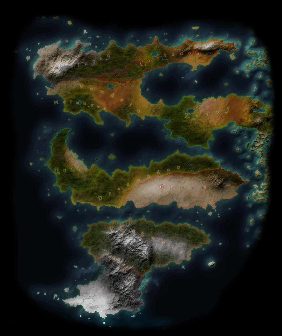
The original illustrated atlas
The hand-rendered political and geographic atlas reconstructed from the original 300-frame rotation. It preserves the visual language of the earliest Zenita site.
Original illustrated globe · 300 restored frames
Drag left or right to rotate. Use the arrow keys when the viewer is focused, or allow the globe to turn automatically.
 Loading Illustrated atlas…
Drag to rotate
Loading Illustrated atlas…
Drag to rotate
Continents · archipelagos · realms
These maps open into a lightbox-style viewing chamber. They can later link to full regional archive pages and newer artwork.
 ArchipelagoThe Cloud Sanctuaries of Alakandria
 ArchipelagoThe Cloud Sanctuaries of Amanandia
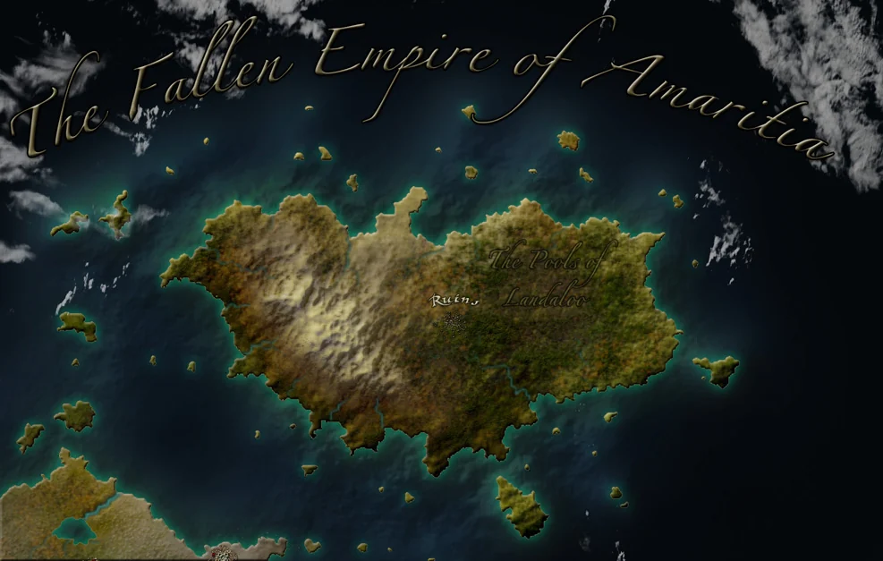 Island realmThe Fallen Empire of Amaritia
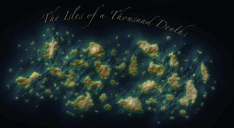 ArchipelagoThe Isles of a Thousand Deaths
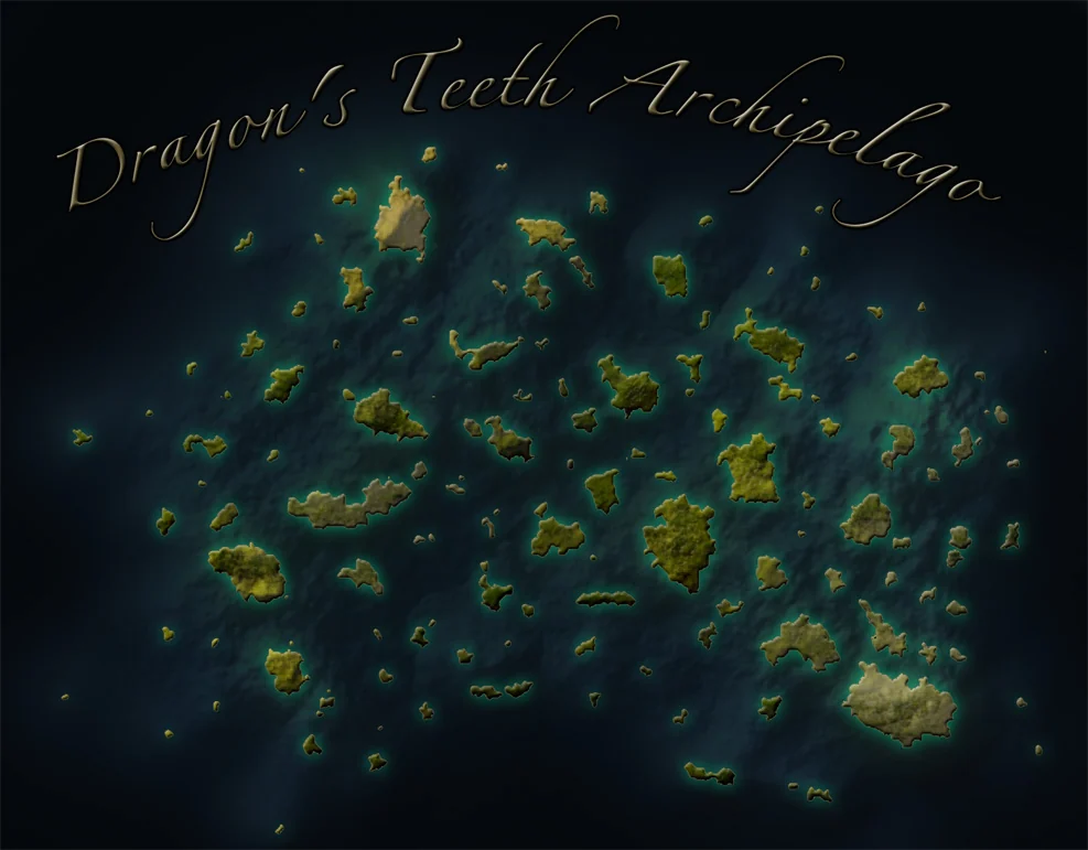 ArchipelagoDragon’s Teeth Archipelago
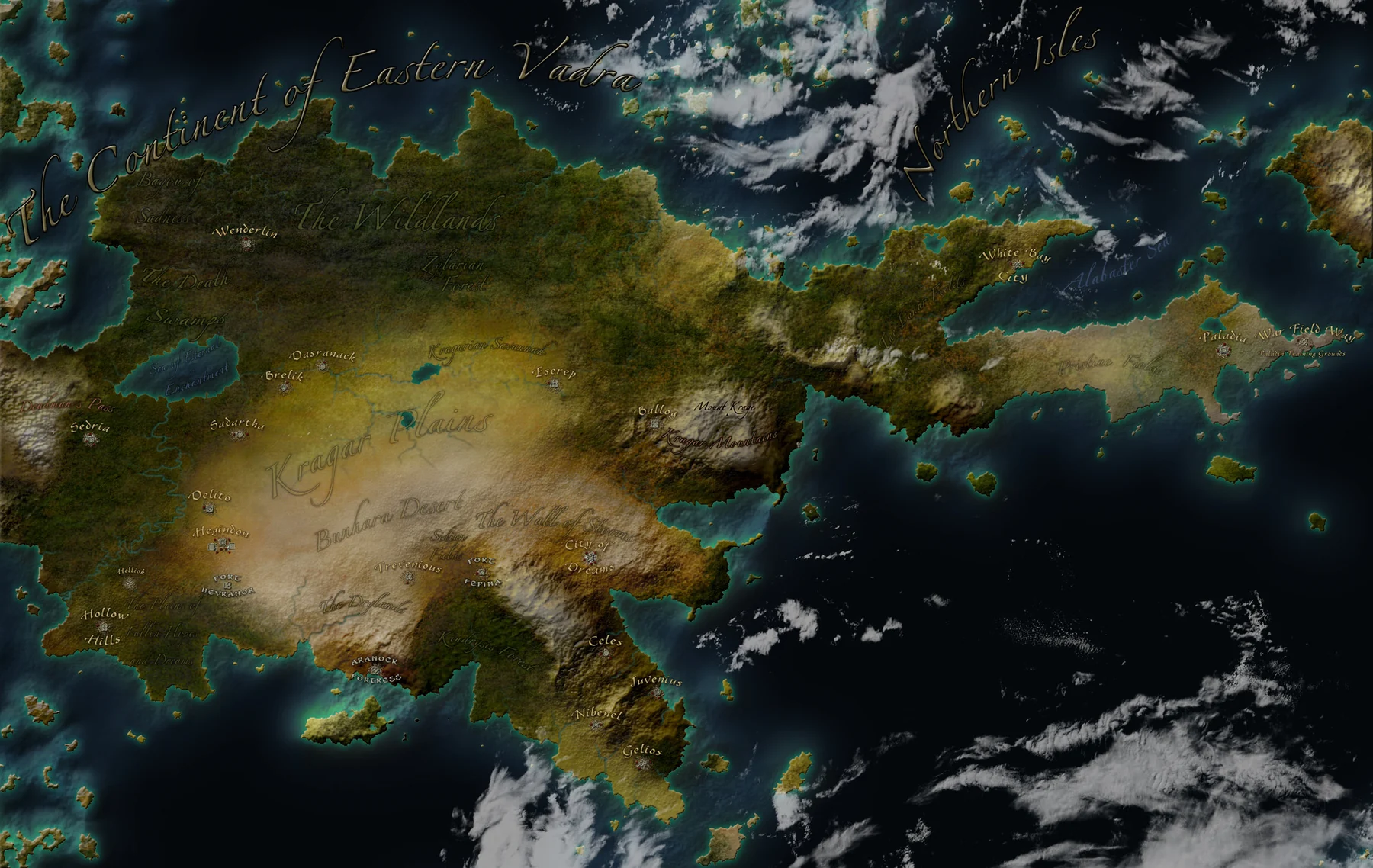 ContinentEastern Vadra
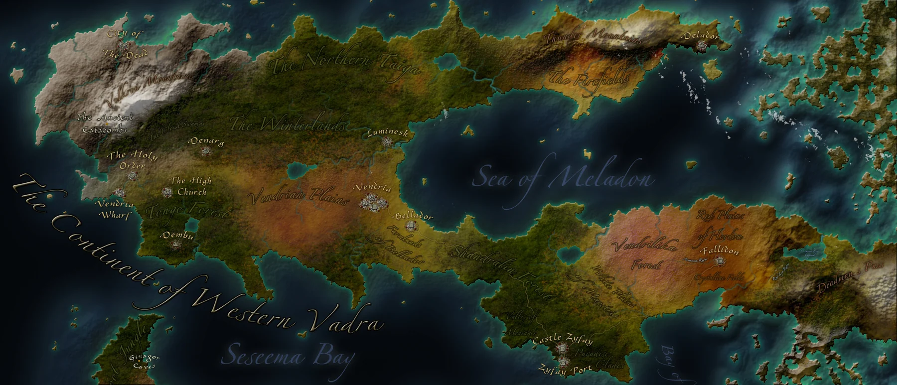 ContinentWestern Vadra
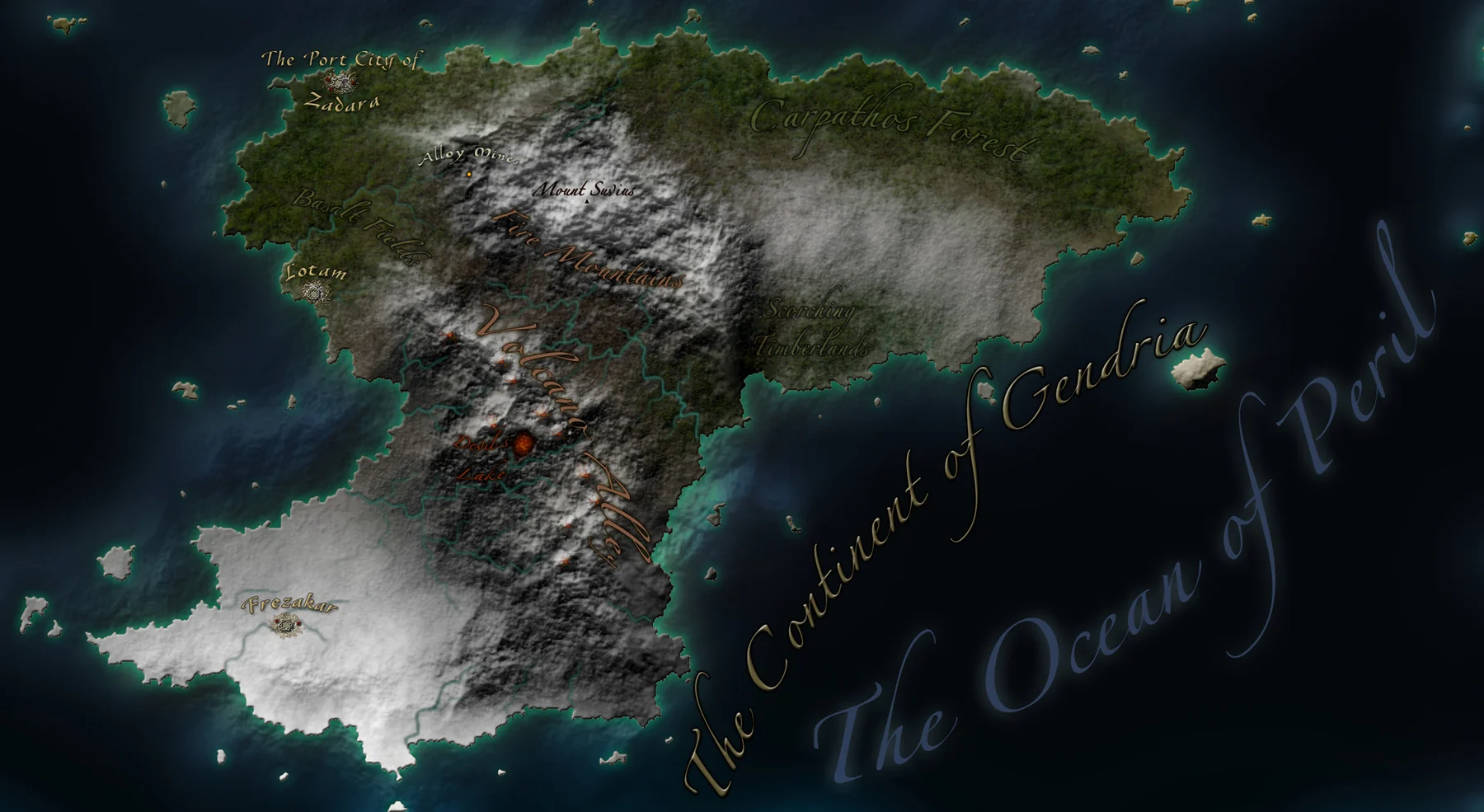 ContinentGendria
 ContinentGeratose
 ContinentZarakona
Built to evolve
Map records live in includes/atlas-data.php; moon records live in includes/world-data.php. New maps can be added by copying a record and changing its paths, title, dimensions, and description.